Read a section, not just a number
Whitewater paddlers often talk about a river in cubic feet per second, gauge height, or a local reference point. Those values are not interchangeable. CFS estimates how much water passes a gauge. Gauge height measures water elevation at that station. The same number can mean very different things on different rivers.
River People associates configured gauges with river sections and presents details where they are available. That relationship matters because a station can sit upstream, downstream, or on a tributary. Rain, dam operations, travel time, diversions, and ungauged inflows may change what reaches the run.
Good practice: confirm the station name, observation time, unit, trend, and relationship to the intended section - not only the displayed status.
Understand runnable ranges
A preferred or runnable range records useful community knowledge about when a section is commonly paddled. It does not mean the water is safe, that every rapid is unchanged, or that the range fits every paddler and craft.
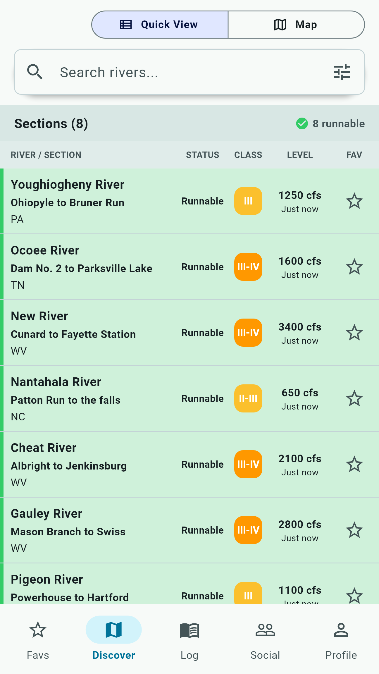
River People can use configured ranges to support condition labels and runnable filtering. Treat those labels as a way to sort possibilities. Then consider difficulty, temperature, weather, recent wood, access, group strength, rescue consequences, and how quickly the river is changing.
Use trends, forecasts, and release calendars
A recent observation describes the station at a point in time. A trend helps show whether values have been rising, falling, or relatively steady. Forecasts can add a future estimate where configured sources provide one, while release calendars can identify planned dam operations.
Forecasts carry uncertainty and scheduled releases can change. A listed release may describe an operator plan rather than water already present at the put-in. River travel time and local operations still matter. Confirm these signals with the originating source.
Build a useful daily check
Save the sections you actually watch, then use favorites and runnable filters to reduce a broad map to a practical list. This is especially useful during rain events, release seasons, and multi-region trips when conditions can change across many watersheds.
Do not let a favorite list become stale local knowledge. Re-open section details, look for new hazard reports, and verify access before committing to the drive.
Coverage and freshness vary
Availability varies by river and feature. Not every river has a gauge, not every station offers the same details, and not every section has a reliable direct correlation.
Check the displayed update time and available section context before relying on a reading. Missing information means "not available," not "no concern."