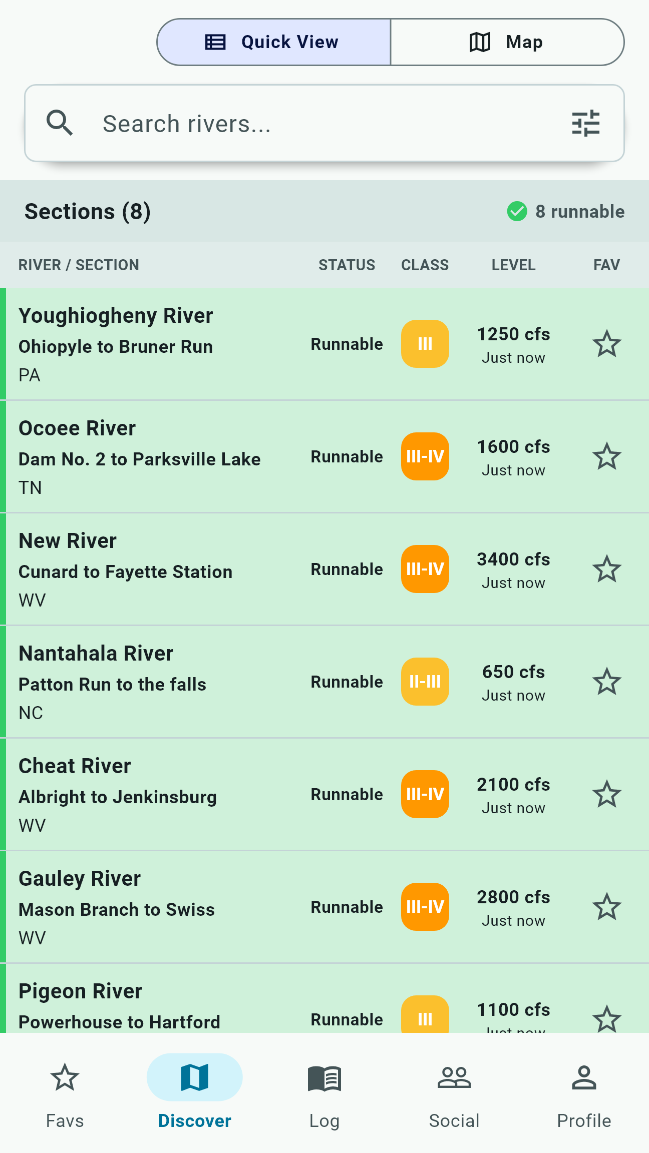
Maps organized around river sections
A river name can contain many distinct runs. Each may have different access, difficulty, gauge relationships, hazards, and consequences. River People treats the section - not only the river - as the useful planning unit.
Browse from the map or search, then inspect the named put-in, take-out, difficulty, section characteristics, and available river details. Confirm that the map refers to the exact run your group intends to paddle.
Put-ins and take-outs require verification
Mapped access points help orient a plan, but access can change because of property rules, construction, seasonal closures, parking restrictions, floods, or local agreements. A coordinate is not permission to enter private property.
Before driving, confirm current access with land managers, river organizations, outfitters, or reliable local sources. Park responsibly and avoid blocking roads, ramps, or emergency routes.
Rapid details are context, not turn-by-turn navigation
Named rapids and points of interest can help paddlers understand a section's sequence and character. Locations, classifications, photographs, and descriptions may be incomplete or affected by changing channels and water levels.
Scout when appropriate. Never rely on a phone map while entering consequential whitewater, and do not assume an unmarked feature is insignificant.
Community hazard reports work best when specific
River People allows paddlers to report hazards and follow community updates. A useful report identifies the section, location, hazard type, observation time, relevant flow, and what was directly observed. Photographs can help when they are safe to capture and appropriate to share.
A missing report does not mean a river is clear. Wood moves, ice forms, construction changes access, and high water can create new hazards quickly. Check report age and seek recent local confirmation.
Report what you know, distinguish observation from hearsay, and never delay an emergency response to post in an app.
Review available water-quality context before launching
River People can show available water-quality context alongside a river section, helping paddlers notice conditions or advisories that deserve another check.
Availability varies by location and update timing. Treat it as one part of trip planning, and confirm current local advisories before paddling or swimming.
Plan for thin service
River People keeps key river information close when service gets thin, but mobile availability varies by device, cached content, map provider, and prior use. Prepare before reaching the put-in.
Carry appropriate offline maps, emergency contacts, shuttle details, and communication tools for the remoteness of the run. A cached app screen is not a substitute for a group emergency plan.